MIS for Black Sea received recognition of the global GIS community
13 Юли 2017
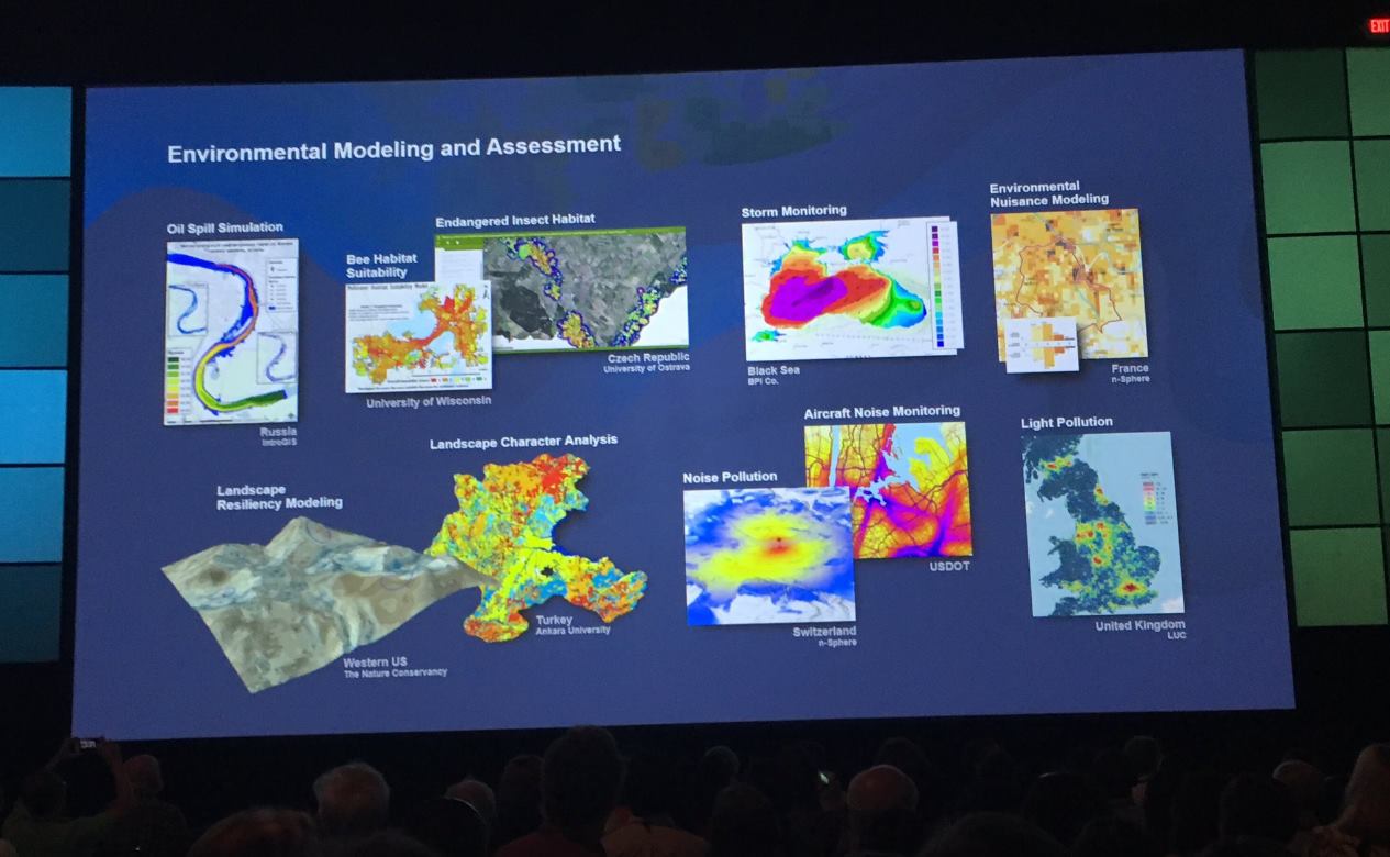
Monitoring and Information System for Black Sea (MISBS) received the recognition of the international GIS community. MISBS of Bulgarian Ports Infrastructure Company was presented by Jack Dangermond President of the Environment Systems Research Institute (Esri) to the global GIS user community as an example of good practice in the field of environmental modelling and assessment. This happened during the opening session of the 37th Esri User Conference on July 10, 2017 in San Diego, California.
Over 16, 000 people in the industry become acquainted with the latest progresses in GIS technologies. At the conference were presented top projects from around the world in different categories to serve as an example and inspiration for the event's experts.
MIS for Black Sea architecture is by Consortium STEMO-ESRI in the form of web portal supporting multiple specialized web GIS applications. It is implemented with the financial support of the Norwegian Financial Mechanism 2009-2014 within the Green Industry Innovation Programme in Bulgaria. The successful project has been awarded two special awards for outstanding merits in the area of geospatial technologies in Bulgaria and for special contribution to the development of ecological modern technologies.