Bulgarian Ports Infrastructure Awarded for special achievements in the field of GIS technology
17 Ноември 2016
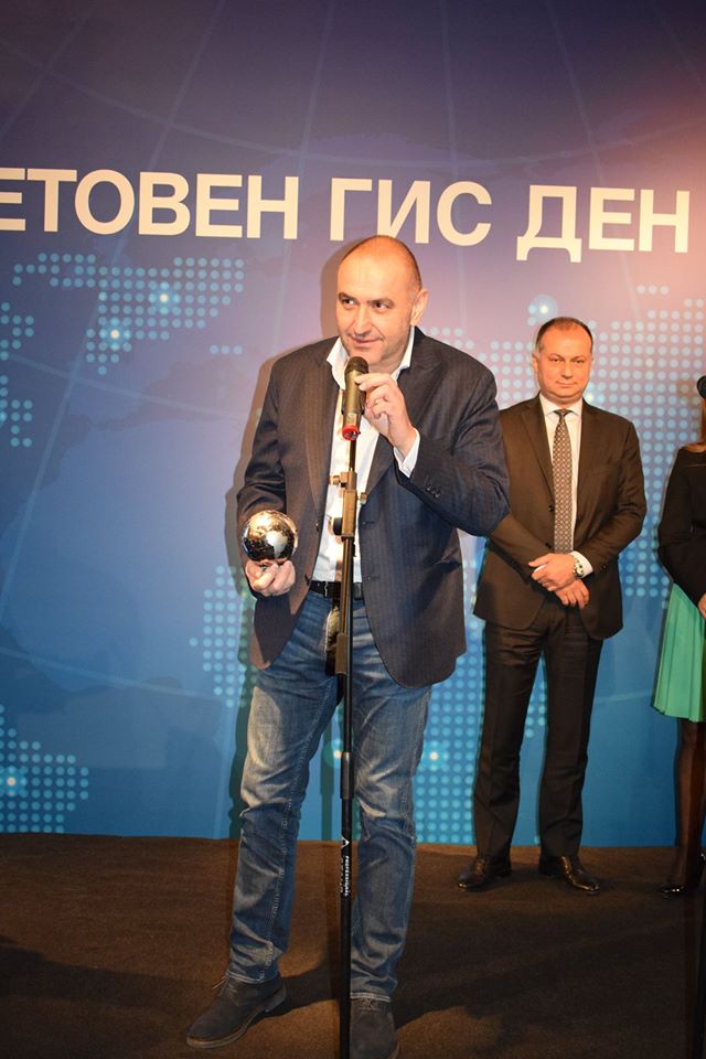
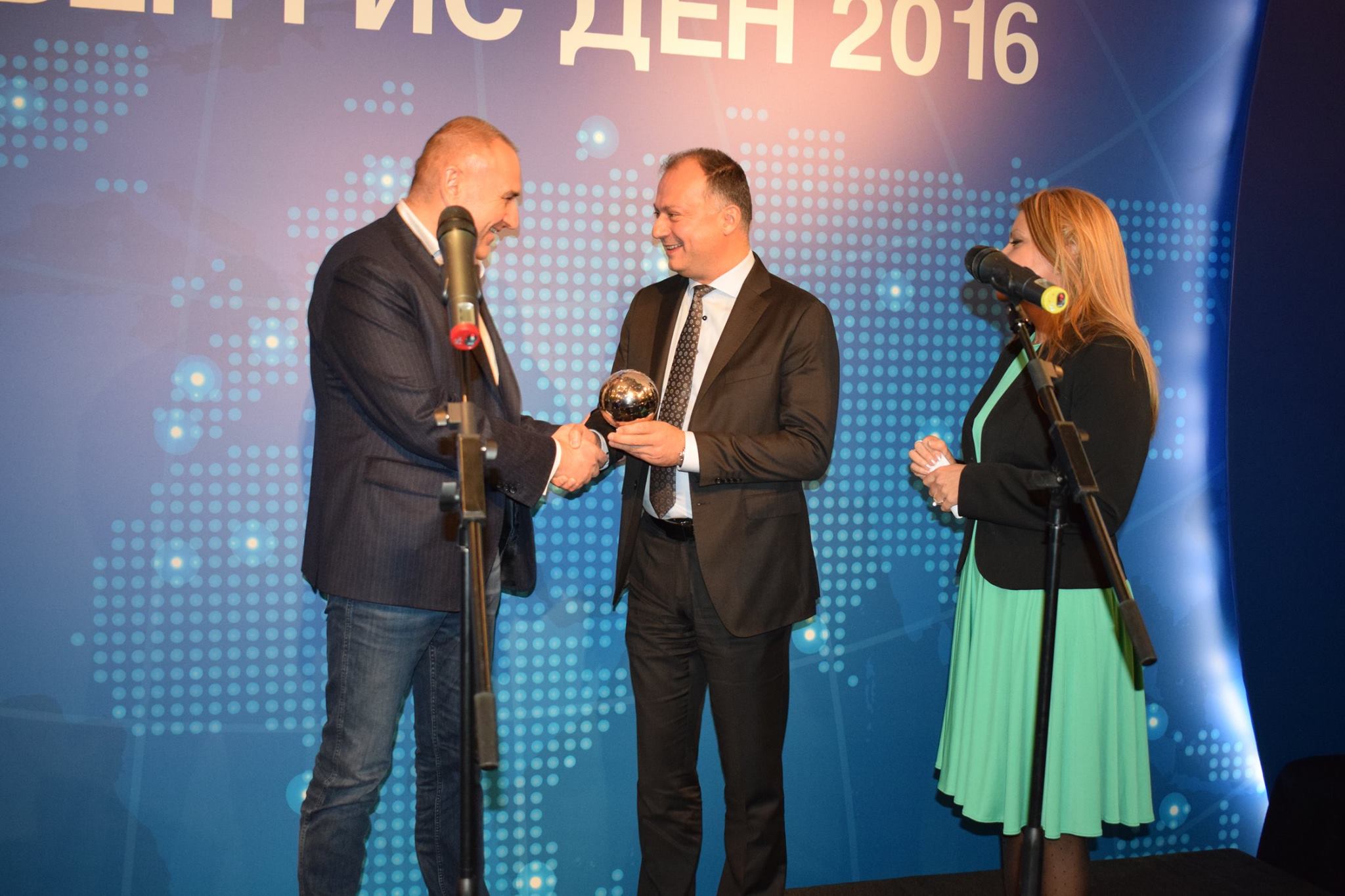
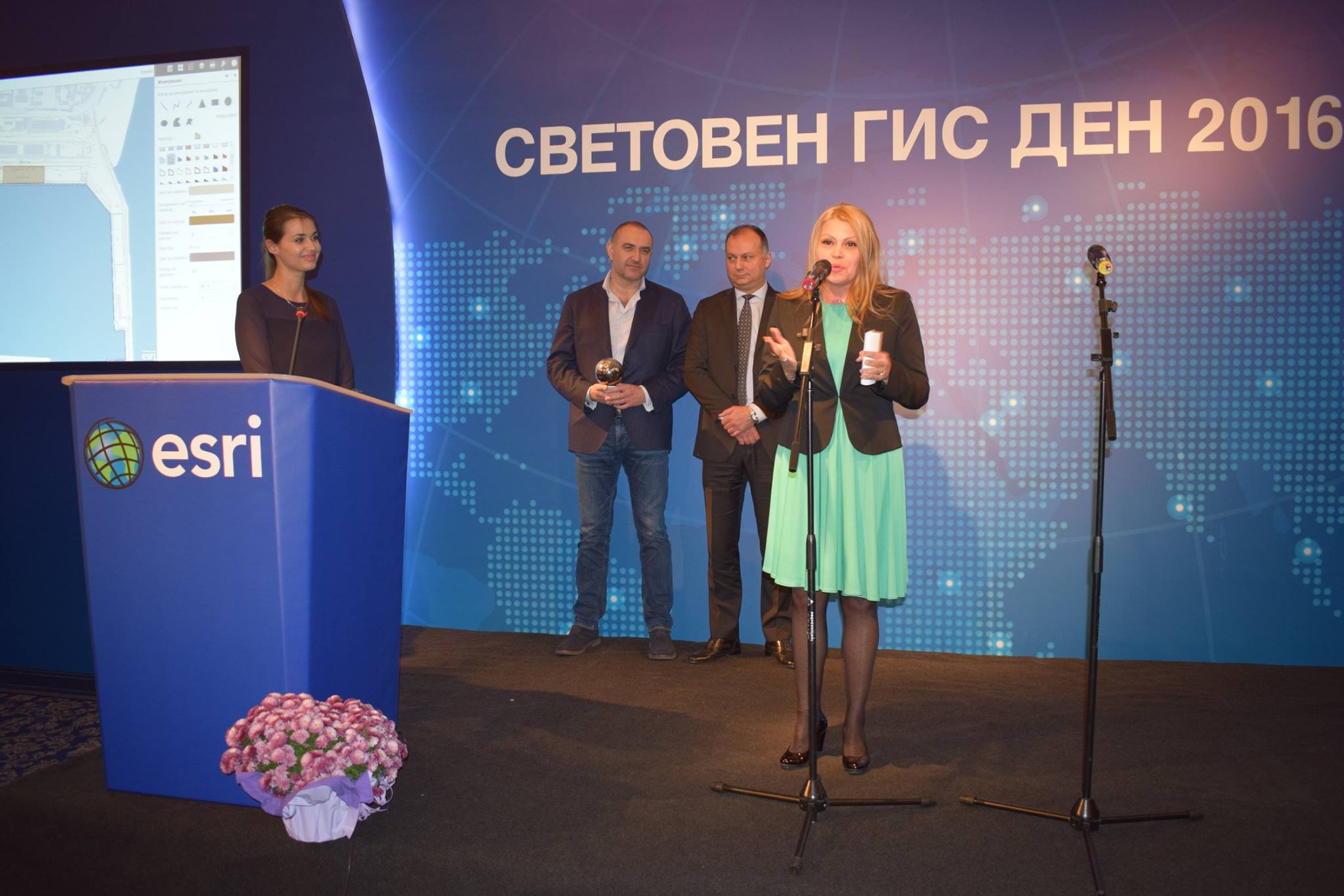
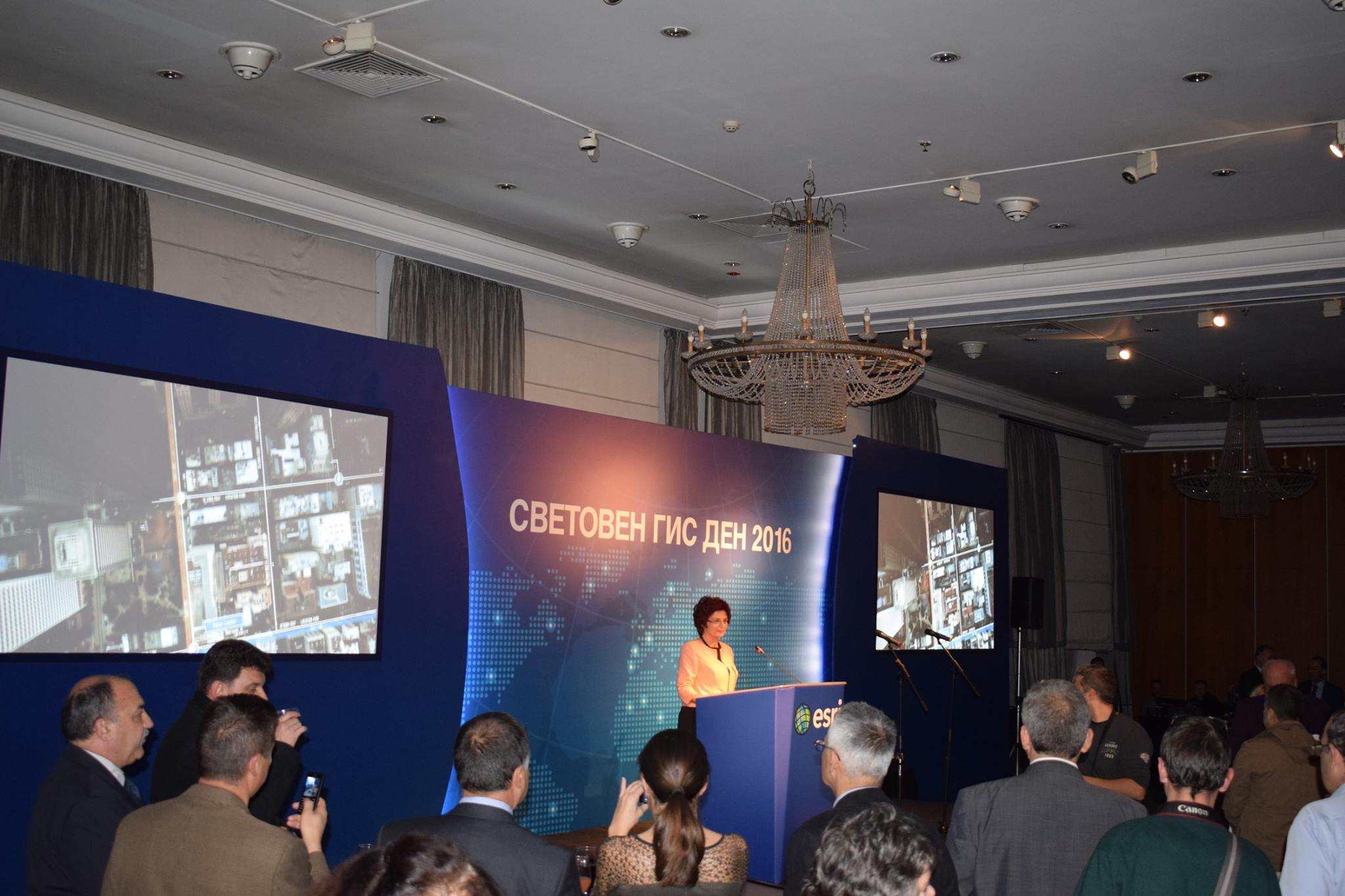
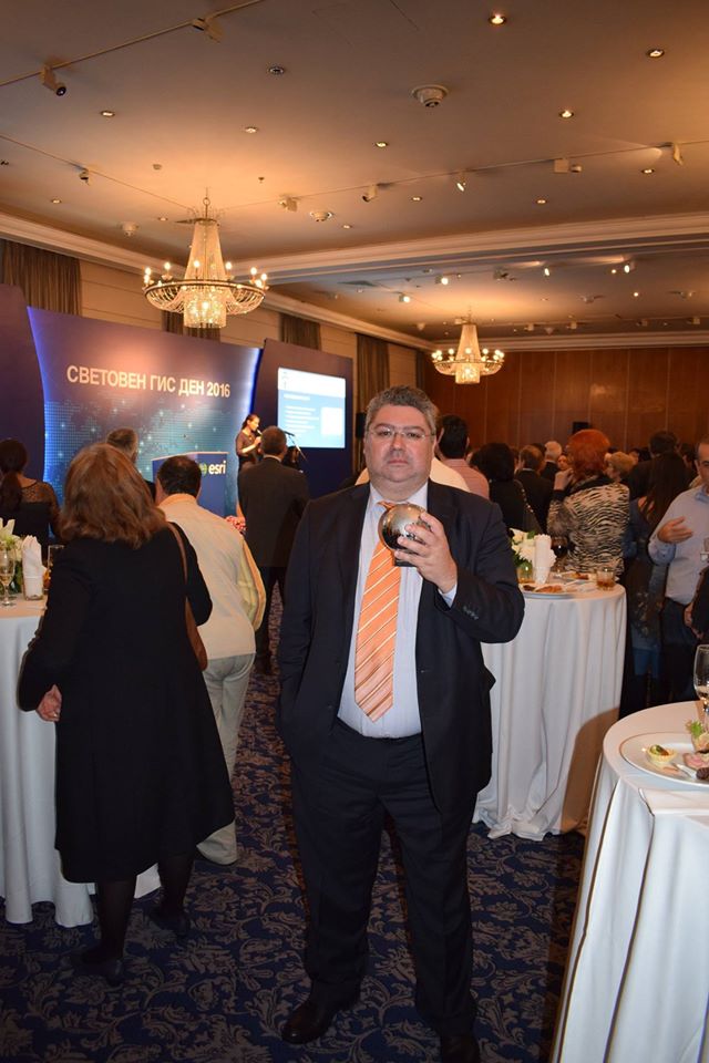
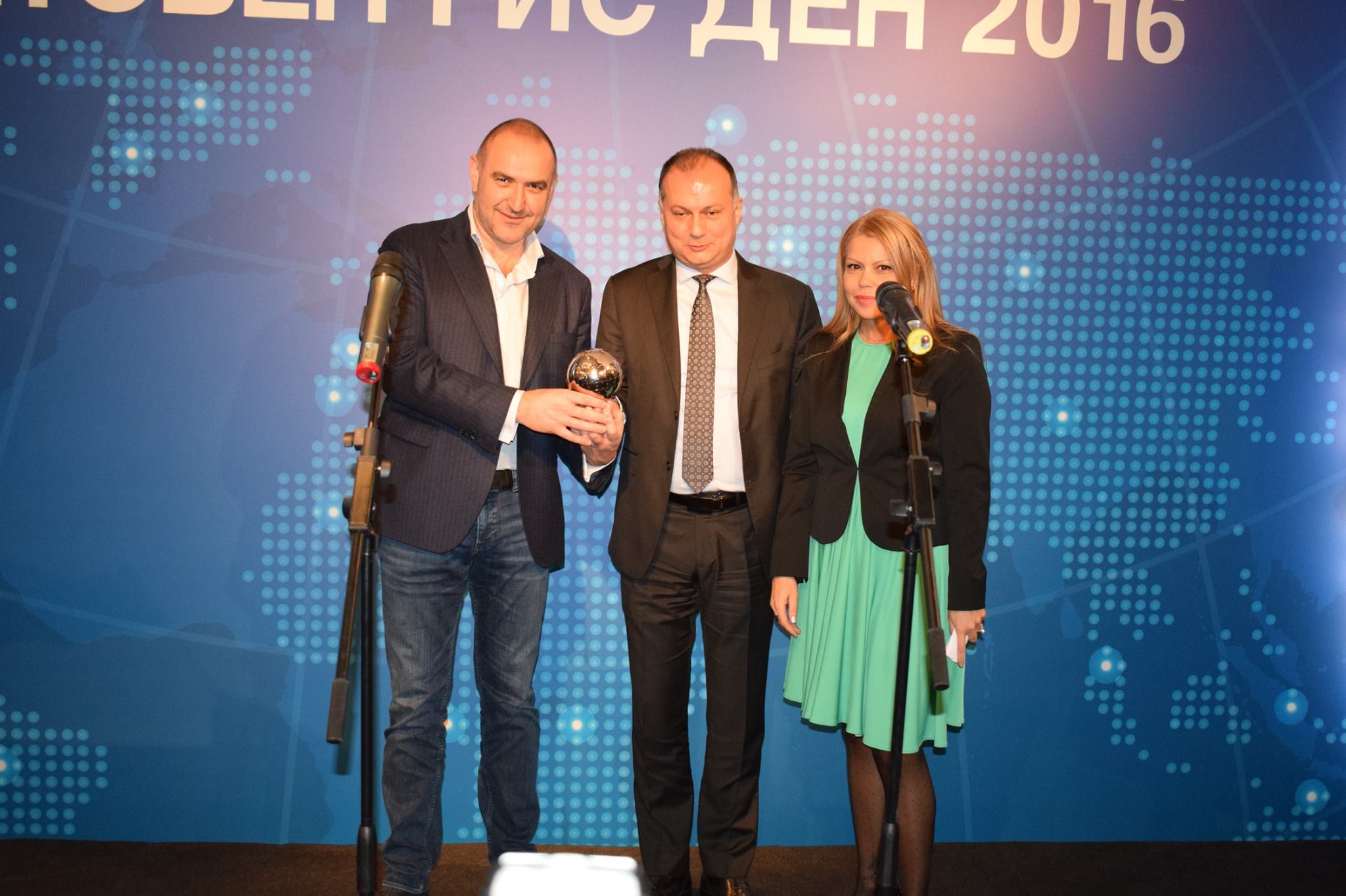
The highest award in the field of GIS technology gets the project Monitoring and Information System for the Black Sea successfully implemented by BPI Co. The special prize was awarded to the Director General, Mr. Anguel Zabourtov during an official ceremony on the occasion of World Day of Geographical Information Systems.
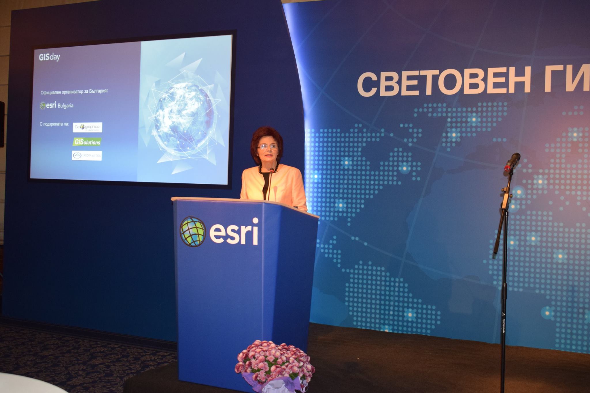
GIS Day is celebrated for the 18th consecutive year in Bulgaria. Traditionally on this day the annual prizes for strategic advances in GIS technology are warded. Organizer of the prestigious event is ESRI Bulgaria.
The monitoring system for the Black Sea has been recognized also by world scientists developing the most up-to-date space technology during the IV World Meeting of University Consortium for Space Technology, held in late October 2016 in complex “Kamchia” near Varna.
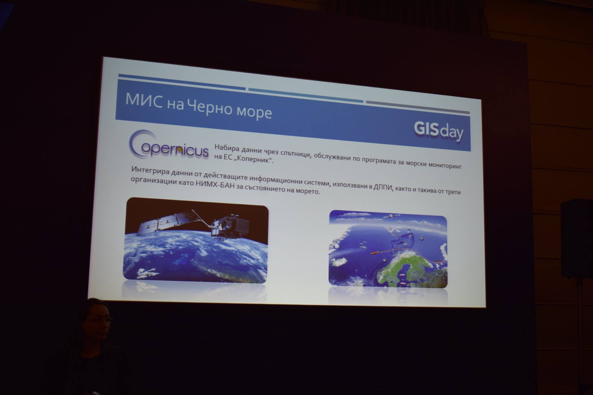
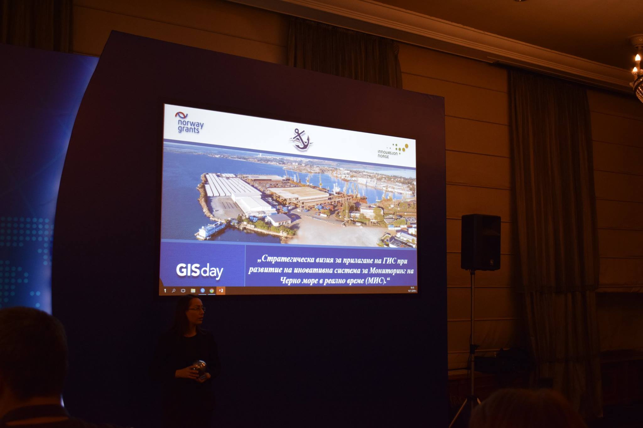
The system is unique for Bulgaria – enables the collection of real-time data from a number of sources, including the “Copernicus”. It monitors the status of various parameters of the environment, maritime spaces, coastal areas, port infrastructure and others. It is established using the best practices of the Norwegian Coastal Administration in the development and management of the system BarentsWatch.